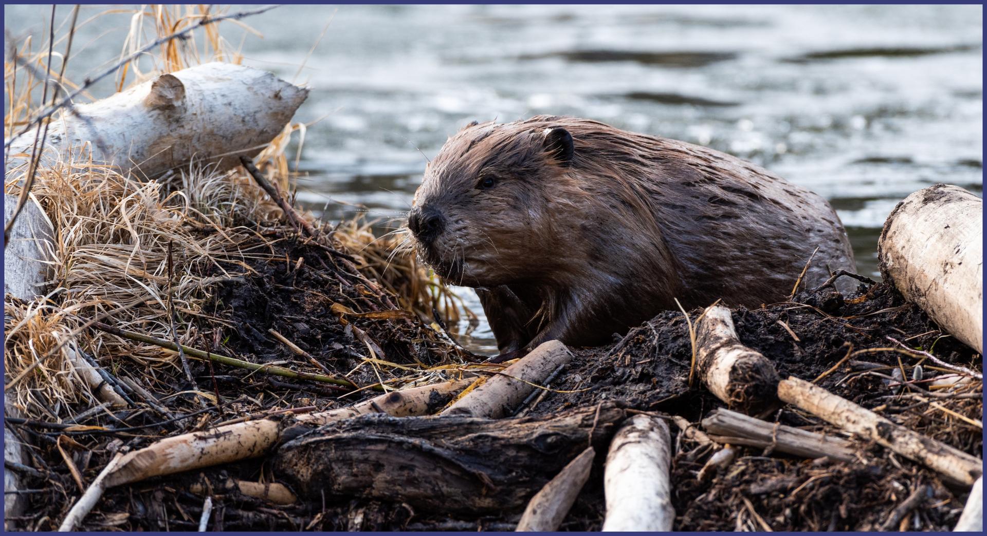
Using high-resolution aerial imagery and machine learning, researchers mapped more than 1,200 individual beaver ponds across Colorado, Wyoming, Montana and Oregon to determine which factors best explained their size. By linking pond size to dam length, vegetation and stream power, researchers give land managers more precise tools to anticipate water storage, biodiversity and climate resilience. |